Everyone has heard about how bad Puerto Rico was hit by hurricane Maria and how slow the recovery has been. As reported by the press, about 45% of the island is still without electricity and without that, you have no running water. The press has also reported that about 400,000 Puerto Ricans have left the island since September 20th.
THAT’S ALL TRUE.
To add insult to injury, the Feds suspended issuing reports on the recovery ‘progress’ being made. No news is better than bad news, right?
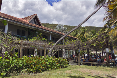
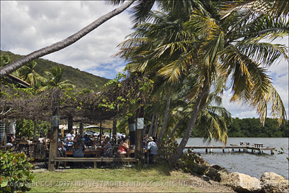
Before I launch into the post, I need to say we are fine, The dogs are fine. Our concrete house suffered only very minor cosmetic damage. However the trees I’ve been working on for the last 6 years did not fair so well. Vegetation was decimated. We lost many trees, many more were badly damaged.
We were most fortunate… many more still need our help.
What follows are my own observations, some photos, how we dealt with it and a timeline which got us to where we are now. I’ll conclude with my observations about the exodus from the island and the FEMA response.
A short, crude video taken during the hurricane is also in the works. I’ll drop a link on this page when it’s done.
The Issue of Hard News or Lack of It
We would not see any national news until we were back on the Net on November 30th. Nothing until then. Nada. No emergency broadcasting capability at the local or national level. It was like a military invasion blackout. We had no clue as to whether Maria had done more damage elsewhere or if we might see anymore hurricanes in the near term. We had no idea, hurricane Lee followed Maria. We did get a lot of wind and rain, days after Maria passed by. It was never mentioned on the AM stations we were monitoring.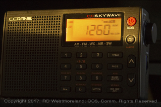
Local news, what there was of it, came from 3 or 4 AM radio stations that had a hard time staying on the air. Issues with electricity and the lack of functional generators. Especially on the south side of the island where we are. San Juan on the north side has ready access to news we could not get. Of course all of it is in Spanish with the exception of the 2 or 3 announcements made by US Government officials. The only English announcement made by a Puerto Rican authority was delivered by the Governor of PR on the day the President came for his infamous photo-op.
MAKE NO MISTAKE, 100 DAYS IN, THERE ARE STILL MILLIONS WITHOUT CITY WATER OR SEWER, ELECTRICITY OR CELL SERVICE AND LITTLE TO NO BASIC HEALTH SERVICES.
THAT’S ALSO TRUE OF THE US VIRGIN ISLANDS TOO.
Ironically, Coamo has it’s own little independent radio station, WCPR 1450AM (Radio Free Coamo?). We would listen to Tony’s morning show, hoping to learn something from it. This was almost always an exercise in frustration as he would often redirect the conversation away from the topic of the moment. We love him, but he’s [Read more…] about Hurricane Maria 100 Day Disaster Recap
 "Click For Map Window")