Please note that Posts about locations within Puerto Rico now contain a link showing where that Post took place. You simply click on the graphic and it will pop-up a small version of me Grande Map, like the one below.

Roberto’s Grande Map to the Isle of Enchantment
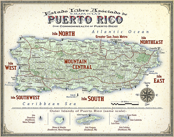 The Regions outlined in red are broken out in the Navigation Side-Bar
You are welcome to share me map and pass it on as long as it is not modified in any way, i.e.- the copyright disclaimer and credit for creation must remain. Commercial use is forbidden. This was a time-consuming labor of love. Hundreds of hours went into creating this cartographically accurate piece of work.
A larger version of me scurvy map- may be seen here
A Good Puerto Rican Road Map:
The most current, most accurate island-wide road map (as of 2010) is courtesy of the PR Dept. of Transportation and Public Works Spanish Web site and it’s FREE. Unlike most free maps, this one is devoid of ads. I made a 13″ x 19″ print (front & back, split) of it and had it laminated. From this pair of links, you may download Part A and Part B, 1.9MB each. Printing it any smaller will require using a magnifying glass to read it. Doh!
Other Maps from Previous Posts:
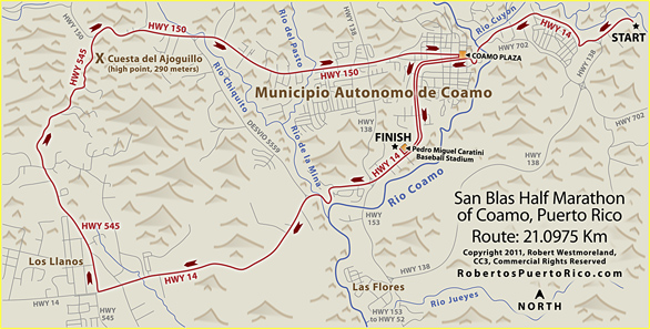
The San Blas Half Marathon of Coamo Map
A 21 Kilometer run around the town of Coamo.
Click HERE for a larger version
Tren Urbano Mass Transit of San Juan
Produced for the article I did about the Tren Urbano mass transit system.
8 Antique Maps from the Library of Congress:
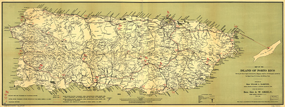
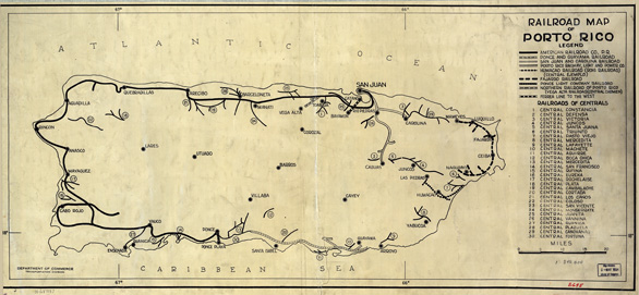
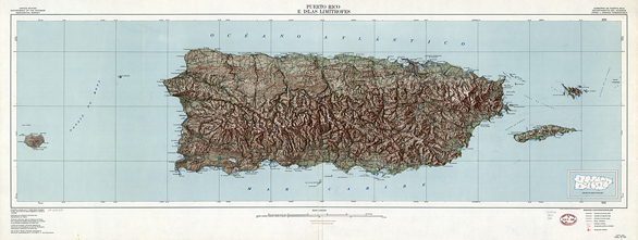
There are way more Puerto Rican maps on their site, but these are my favorites. Most were huge files.. some over 200MB. I tweaked them, resampled them, selectively sharpened them and then created the ‘compact’ files you see here. You may certainly go download the originals, if you wish. Go to their site and do a search for ‘Puerto Rico Maps’. I consider these ‘works of art’, in their own right. They represent a level of craftsmanship you simply don’t see any more. They range in size from 888KB ~ 3.2MB.
Do not link to these images from other sites..
Download and host them yourself if you wish.
Click the TITLE or Map, to launch the ‘HiRez’ version.
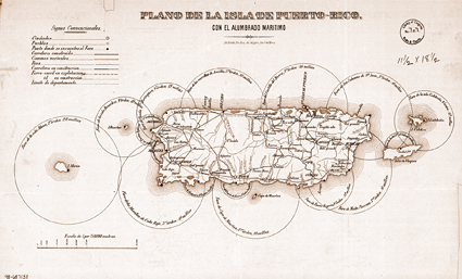
#1- Spanish, Lighthouse Map, no date (1.4MB)-
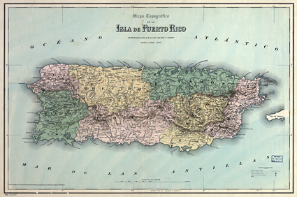
#2- Spanish, Isla de Puerto Rico Map, 1886 Topo (1.5MB)-
#3- Spanish, Mayaguez Plat Map with slight mods, 1888 (1.2MB)-
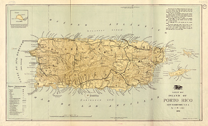
#4- English, Porto Rico Map, 1898 RRs and Lighthouses (1.3MB)-
#5- English, Goff’s Spanish-Am War, 1898 West Indies (1.4MB)-
#6- English, US Army Signal Corps, 1900 (2.0MB)-
#7- English, Old Railroad Map of Porto Rico, 1924 (888KB)-
#8- English, USGS Topo Map of Puerto Rico, 1952 (3.2MB)-
#9- English, British Map of San Juan, PR 1794 (3.4MB)-

